Exploring (Virtually) OS Landranger Sheet 2 : Shetland - Sullom Voe & Whalsay
 |
| Whalsay |
From south to north - not quite the northern-most sheet in the Landranger arsenal but close. Getting onto this sheet is a bit of a haul - you probably want to make your way to Aberdeen, then brace yourself for a 12 or 14 hour ferry crossing (smooth crossings are available, sometimes). Then once you get off the ferry in Lerwick, turn right and head on up the A970. After about 13 miles you'll have made in onto the southern edge of Sheet 2.
You might want to hang on to your sea boots while you're exploring here (even virtually), you get a lot of blue on this sheet - there are lots of wee ferries, but (on this sheet at least) not many bridges. Dotted around the islands are some magical place names - some describing the local landscape (but in Norn) and lots of which betray Shetlands traditional Scandinavian links.
 |
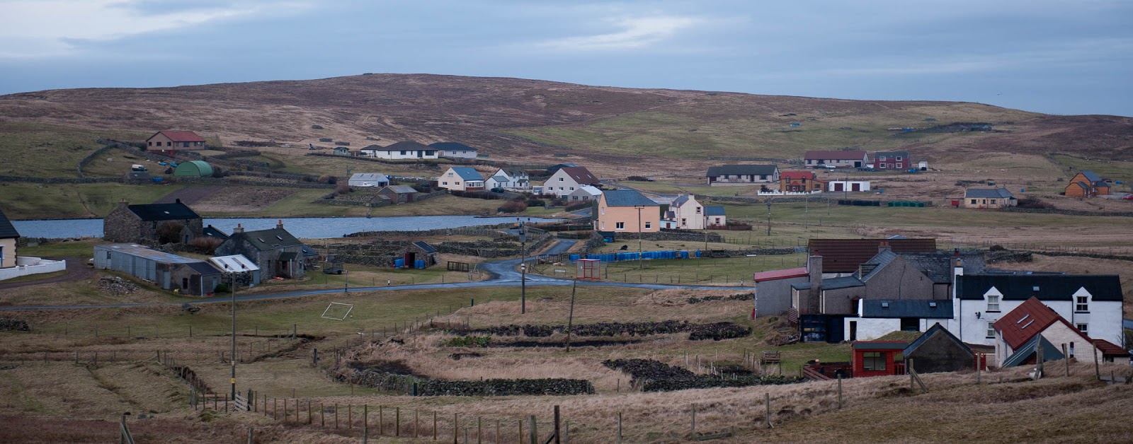
| Welcome to Fetlar |
At the south and west of the sheet you're still on Mainland the (not very imaginative) name for the biggest of the Shetland Islands - but elsewhere you get to see some of the other islands, the bigger ones being Whalsay, Yell and Fetlar. Dotted around these islands are numerous smaller islands, almost all uninhabited. By one count there are over 300 Shetland Islands, although I'm not sure how big a skerry needs to be to count as an island - you'll certainly find plenty of skerries and holms on this sheet. You'll find some distinctly creatively named wee islands too, the "Flaeshans of Rumble" is, obviously, just north of "Rumble".
 |
| Welcome to Northmavine |
If you're very patient you might just find a new island appearing - on the west edge of the sheet is a narrow neck of land that separates Northmavine from the rest of Mainland. This neck of land (Mavis Grind) was historically the place where boats got dragged up and over so that they could be used on the 'other' coast of Shetland rather than needing to sail all the way round the north end of mainland. The entrance to Northmavine already has a Holywood-style sign to welcome visitors.
 |
| Whalsay Coastline |
The bigger islands all have their own stories and traditions. Whalsay was once a Hanseatic trading centre, and is now where most of the big pelagic fishing boats are based. Fetlar is sometimes called the Garden of Shetland - not many people live there but quite a few visit to see the phalaropes on the Loch of Funzie. Between Fetlar and Mainland is the island of Yell - for many just somewhere to cross en route to Unst (the most northern of the inhabited Shetland Islands, but you'll need to find Sheet 1 to get there). Yell is however worth a bit more of your time - including more otters than anywhere else, the most haunted house on Shetland and trows (the Shetlandic answer to the trolls in Iceland).
 |
| White Wife, Yell - marking the site of a shipwreck in the 1920s |
One of the descriptions of Shetland, is that no where is more than three miles from the sea - and if you look around sheet 2, you can well believe that this is true. The islands themselves are mostly long and narrow, and very often broken up by long narrow voes or firths.
One of these, Sullom Voe, has over the last 40 year been absolutely critical to the economics of Shetland - this has been the place where oil from the North Sea has been brought ashore since the early 1970 - and a wee share of the value of each barrel has gone into the local coffers to pay for facilities across the island.
Visits? Yes, lots! I've been spending quite a lot of time on Shetland for the last 10 years. We did at one point look at a couple of houses on the south edge of this sheet - but ultimately opted to be a bit further south.
No comments:
Post a Comment