Exploring (Virtually) OS Landranger Sheet 70 : Ayr, Kilmarnock & Troon

The final stop is this tour (although I think that now I've started, I might need to carry on) swoops back down to the southwest of Scotland, and the Ayrshire coast.
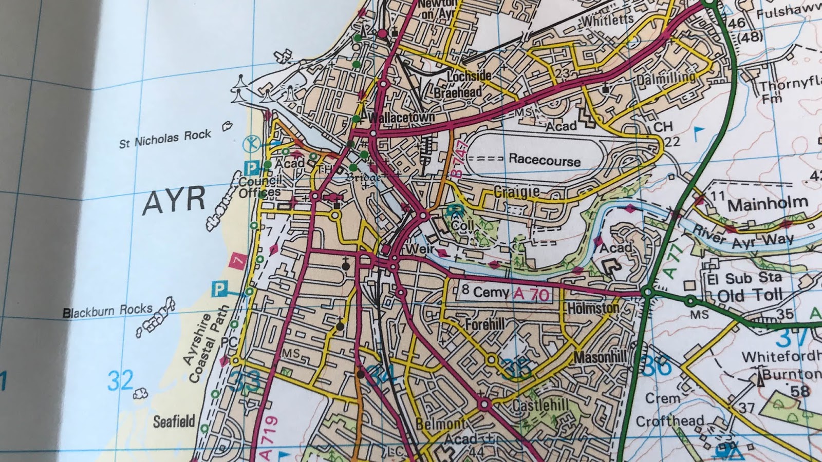
The coast runs right down the sheet taking in a whole of familar place names - from Ardrossan, to Troon, to Ayr and then on south past Culzean Castle. And that's before you start to add in the numerous golf courses dotted along the coast. The landward side of the maps is decidedly busy - lots roads and a few railway lines (both current and dismantled).
Dotted right along the coastline is the very tempting Ayrshire Coastal Path - which runs (or walks) from just north of Stranraer right up to Largs, the middle 65 km of the entire 150 km is on Sheet 70.
And my new-found bit of Scottish geography knowledge for this sheet - while I had heard of both Irvine and Ayr (and could have probably placed them on a map), I wasn't aware of either the River Irvine or the River Ayr (and there is even a River Ayr Way to explore).
And have I ever visited this sheet?
I started writing this with a clear "No".
However as I've wandered (virtually) around the sheet recollections of student-era rail journeys have re-surfaced. On a number of occasions, when finances were 'restricted', I caught a train from Bristol to Crewe and then got a seat on the overnight sleeper train from Euston to Stranraer - and I'm pretty sure that the train would have come through Ayr towards the end of the journey.
So "Yes" I have visited this sheet at least a few times - but I think it deserves a proper return visit.
No comments:
Post a Comment