 |
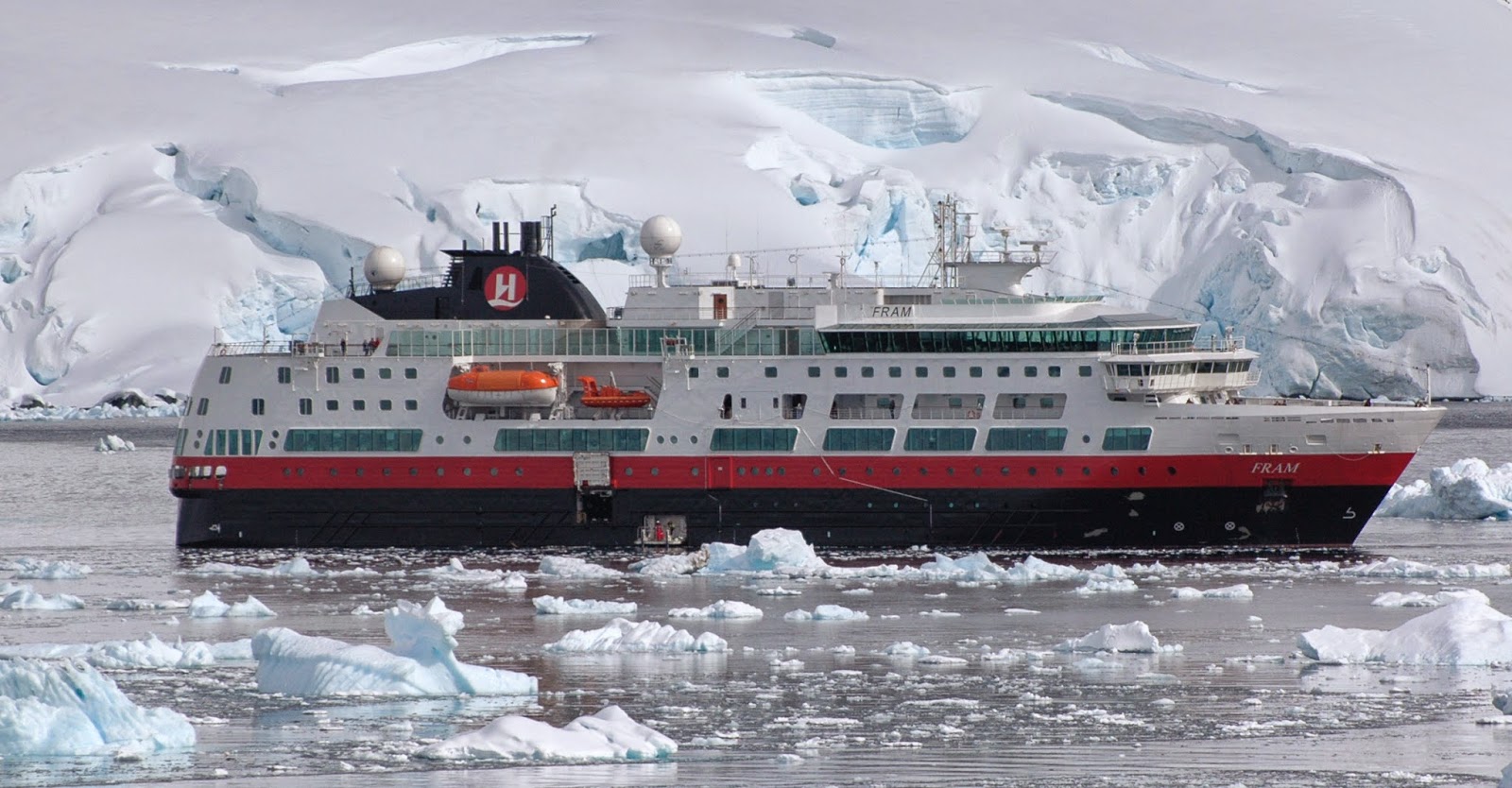
| Hurtigruten's MV Fram at Paradise Harbour, Antarctic Peninsula |
There are one or two companies now offering flights from South America across the Drake to the South Shetland Islands, but most people still face the Drake Passage by boat. The boats used around Antarctica, often the same ones used around Svalbard in the northern summer season, operate from November to March (the southern summer). Many of the boats used for tourist travel around Antarctic have been converted research ships, mostly of Russian origin. The boats, all with reinforced ice-capable hulls (as opposed to being real ice-breakers) typically carry about 100 passengers, although there are one or two which carry more than this. As you browse the brochures you may read about the advantages of the bigger boats – possibly faster, probably more stable etc. However, the caveat is (and it’s a significant one) the IAATO rules only allow 100 people ashore from a boat at a time so if there are more than 100 people the expedition crew need to come up with a shift system. The bottom line is, less time ashore.
Historically, many of the ships operating were doing so on ‘second careers’. The boats had served as research boats before being modified, in some cases very substantially to operate as passenger ships. In many cases, the ships did however retain a somewhat ‘spartan’ style. More recently a number of bigger trip operators have start to bring in purpose built expedition cruise ships for both the Antarctic and Arctic cruise seasons. These ships are often significantly more luxurious, and often significantly more expensive too. For many people their one Antarctic trip falls in the trip of a lifetime experience, so they are prepared to pay for the luxury extras.
For most people, travelling either on a converted research ship or a luxurious purpose built vessel, the first real obstacle en route to Antarctic is the Drake Passage. It’s referred to in a variety of ways – from the Drake Lake to the Drake Shake.
If you look at a globe – or a map of the world – you will see South America stretching down to a southern tip, and Antarctic stretching up to a northern tip. Between the two is the Drake Passage – and if you spin the globe round you’ll see something unique at that latitude – no land. So when the wind starts blowing, there really is nothing to stop it. The gap isn’t very wide, only about 500 miles, but it can feel like a long 500 miles when you’re on a boat travelling at 15 miles/hour.
The Drake Passage is important – it’s a physical barrier that keeps the Antarctic cut off from the rest of the world, which help minimise sea-bourne pollution, and it’s a psychological barrier which reminds the traveller that they are heading somewhere special.
 |
| Crossing the Drake |
The first sight of land after crossing the Drake Passage are the South Shetland Islands – the sailors will reach the islands after a couple of days at sea, and the fliers will reach a couple of hours after leaving South America. In either case it’s here that the Antarctic experience really starts.
The South Shetland Islands are the first chain of island protecting the Antarctic Peninsula, and there are several regular landing slots here that ships will use. At these landings you will learn (or relearning) the skills needed for ‘wet landings’ – every landing around Antarctic is going to be on a beach rather than at a jetty – and get to meet some of the local wildlife. You will also see other cruise ships, but almost certainly only at a distance. This is one of the sleights-of-hand that the ship operators use to maintain the illusion that there isn’t anyone else around. There are quite a lot of boats operating around the peninsula, but they co-ordinate their landings so that you don’t get two ships trying to use the same location at the same time.
 |
| Going ashore - South Shetland Islands |
One question that does come up is about how safe it is to visit Antarctica. Recent media coverage did highlight the fact that there aren't any rescue services here. If you run into trouble it’s going to be up to your boat or others in the area to provide assistance. In recent years there has only been one major incident along the peninsula, the MS Explorer hit ice in the Bransfield Strait and sank, all the passengers and crew were rescued by other ships in the area within a few hours.
For more about my fiirst visit to the Antarctic Peninsula, read about Polar Fever.
Back to the Place Notes starting page
No comments:
Post a Comment